
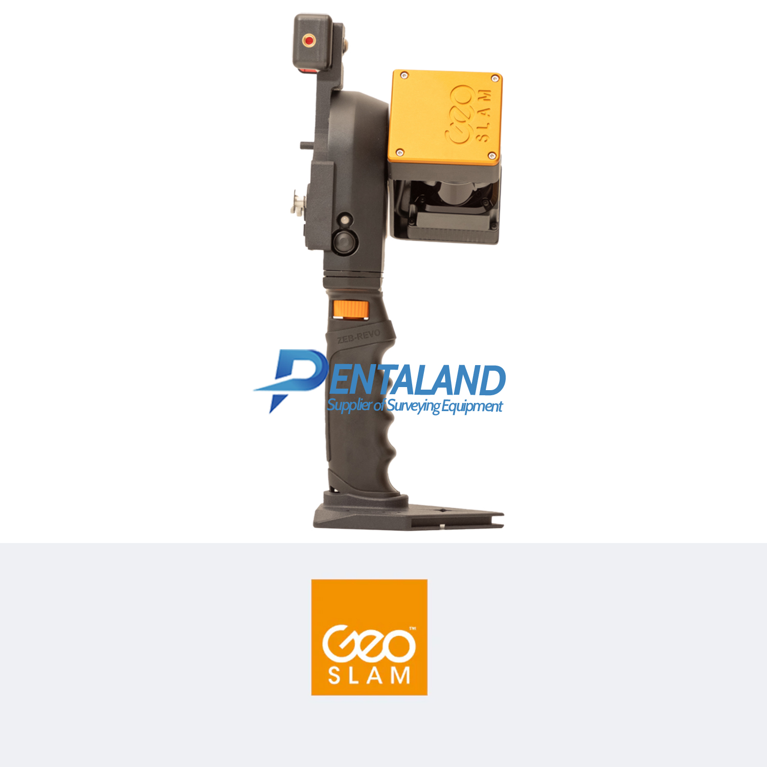
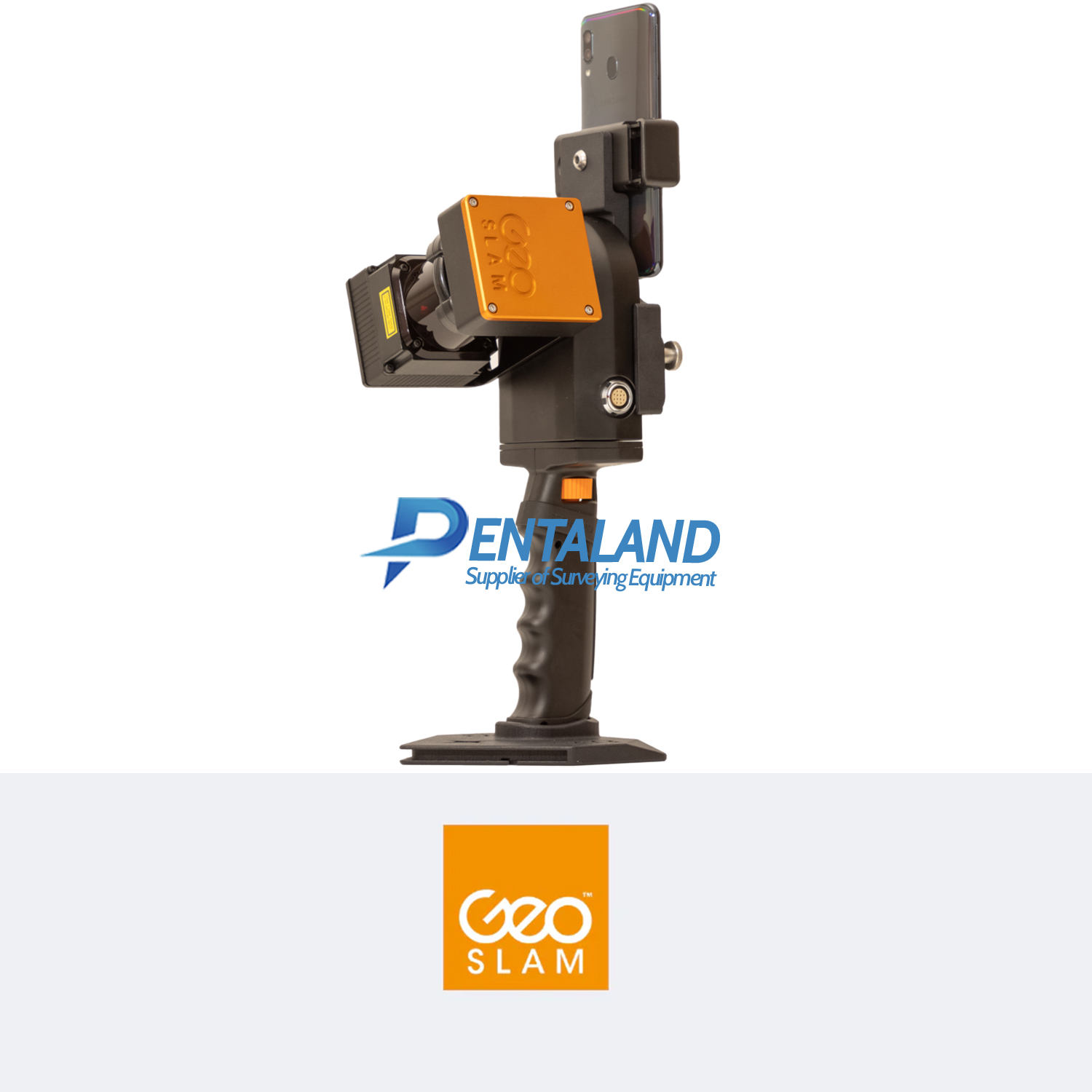
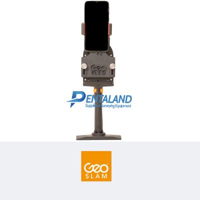


GEOSLAM Zeb Revo RT 3D mapping Scanner
$22,900
Related Products
For sale the new GEOSLAM Zeb Revo RT 3D mobile mapping Scanner
The new GEOSLAM Zeb Revo RT 3D mobile mapping Scanner, Handheld, lightweight and easy to use, allows you to rapidly build highly accurate 3D models within minutes, while on the move.
The complete solution that allows you to start mapping the world around you today with any WiFi enabled device. Scan, visualize and process simultaneously, as you walk.
- 100m Range View data in real time
- Indoors and Outdoors Mounting options
- Go anywhereGo anywhere
Product Includes:
GS_610042 Geoslam ZEB-REVO handheld laser scanner
GS_610070 Geoslam ZEB-REVO RT Processing Unit
GS_610008 Geoslam ZEB REVO main cable
PAG_9307V ZEB-REVO RT battery
PAG_ 9710 ZEB-REVO RT battery charger
MUS_40_1_5 Shoulder strap
RS_832-347 Ethernet cable
GS_610073 ZEB-CAM cable (compatible with RT Processing Unit)
GS_510072 Heavy Duty Carry casE
GS_SW_LICENSE GeoSLAM HUB license dongle and USB memory sticK
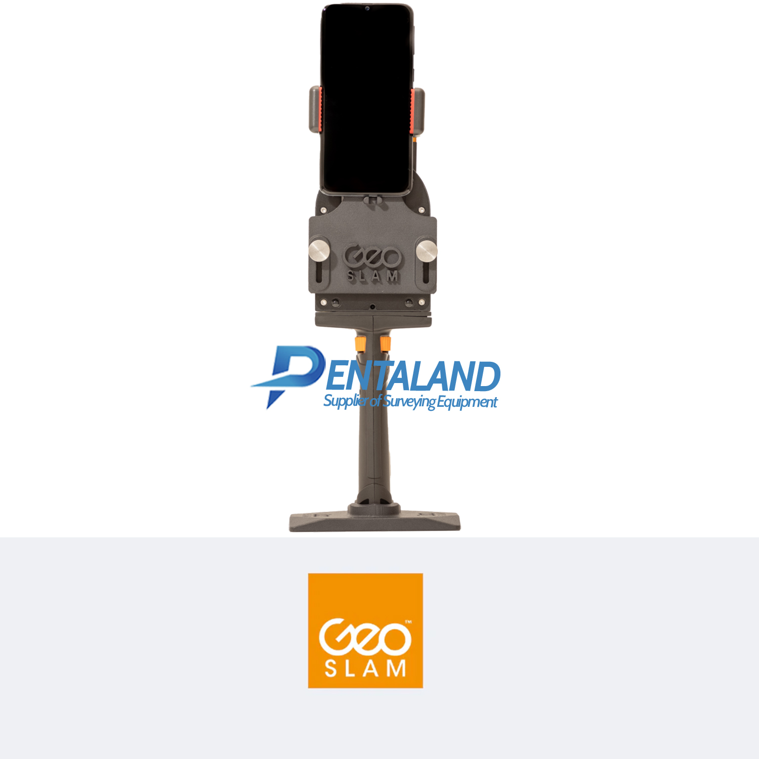
GS_610071 Magnetic mount for tablet or cell phone
Backpak
12-month hardware warranty
Powered by the smartest SLAM
With one button operation, you’ll be up and running fast – capturing survey grade data in minutes.
Process a pointcloud quickly using our intelligent point cloud processing platform GeoSLAM Connect.
GeoSLAM data is compatible with software that works for you with universal file formats (LAZ/LAS/PLY/TXT/e57).
GEOSLAM ZEB Revo RT – One tool. So many ways to use it.
Cradle AccessoriesZEB Pano – Use the ZEB Pano for adding 360° imagery for indoor property surveys and real estate applications.
Pole AccessoriesZEB Cam – For colorized point cloud and referenced photos.
Drone AccessoriesCradle & Pole – Elevate or lower your ZEB Revo RT into difficult spaces like ceiling voids and manholes.
Remote AccessRemote Access – Real time remote data capture for robotic navigation via an API control.
Software that works for you.
Data from the ZEB Revo RT can be exported from GeoSLAM Hub in all industry standard file formats.
Import into your preferred CAD program or mine planning software, the ZEB Revo RT is as flexible as you are.
Why not try GeoSLAM Connect, plus Draw which allows users to quickly extract floorplans and sections from point cloud data.
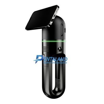
ZEB Revo RT
Real-time processing which means you can visualize the scan as you move. Has a range of 30m and IP51 rating. Used mostly for scanning indoors and utilized for applications such as construction/BIM or creating floorplans.
Pentaland
Pentaland Surveying specialized in sale and service of surveying instrument and measuring equipment with more than 15 year experience. We supply a wide range of latest instruments, accessories and consumables for measuring, surveying applications and construction such as 3D Laser Scanner, Digital Templating System, GPS GNSS Systems, Ground Penetrating Radar, Laser Tracker, Phased Array Flaw Detector, Pre-Owned 3D Scanners, Robotic Total Stations, Thermal Imaging Camera, XRF Analyzers.
Categories
Manufacturer
© 2014 - 2026 Pentaland | All Rights Reserved
