This GeoSLAM ZEB Horizon Used for normal job, has been carefully inspected and is in very good condition., this mobile mapping scanner regularly fully upgrade and calibrated by GEOSLAM authorized to be ready to working and works flawlessly with GEOSLAM working standards.
This GeoSLAM ZEB Horizon sale covering with 1 year GEOSLAM extension warranty for both parts and labour and 30-day money back guarantee.
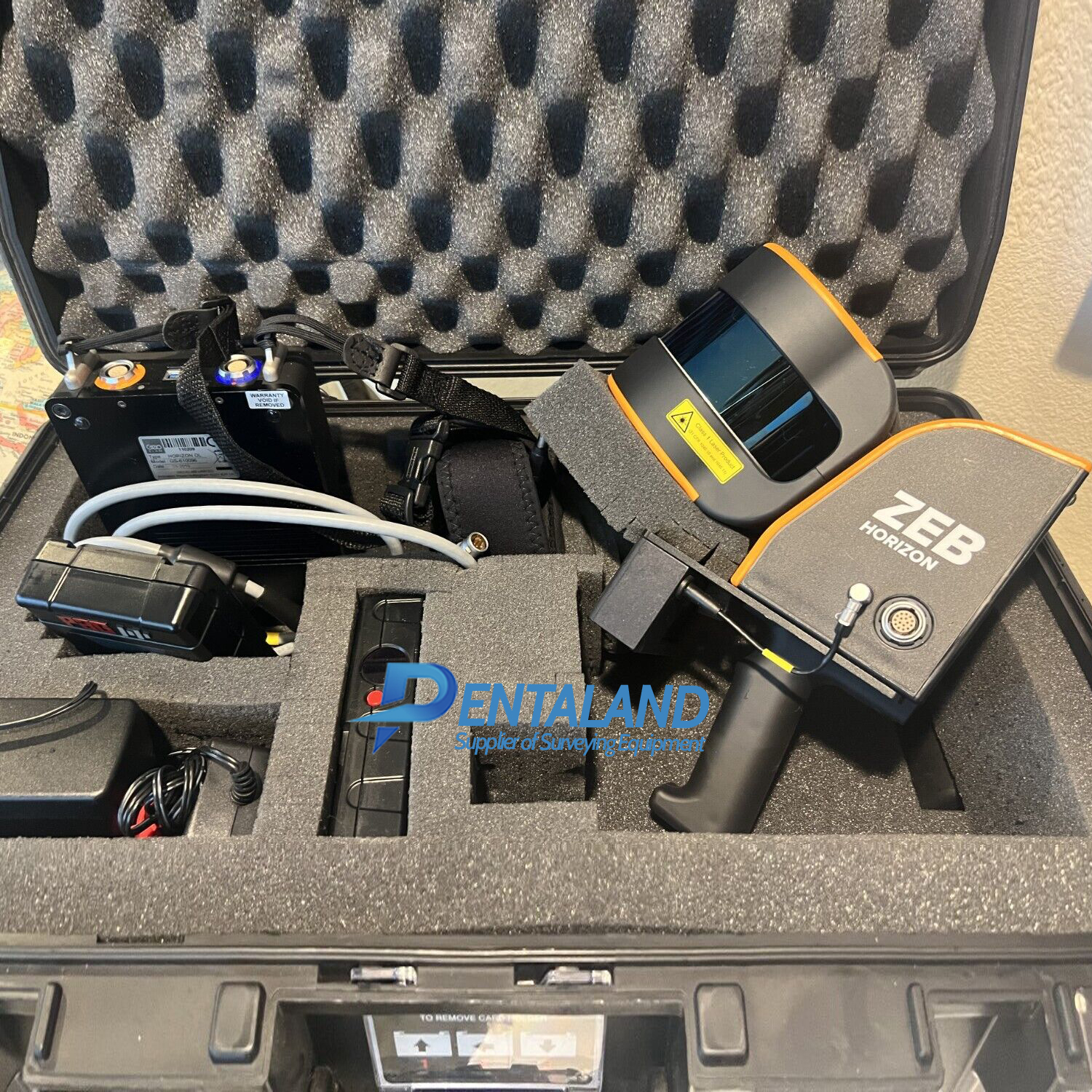
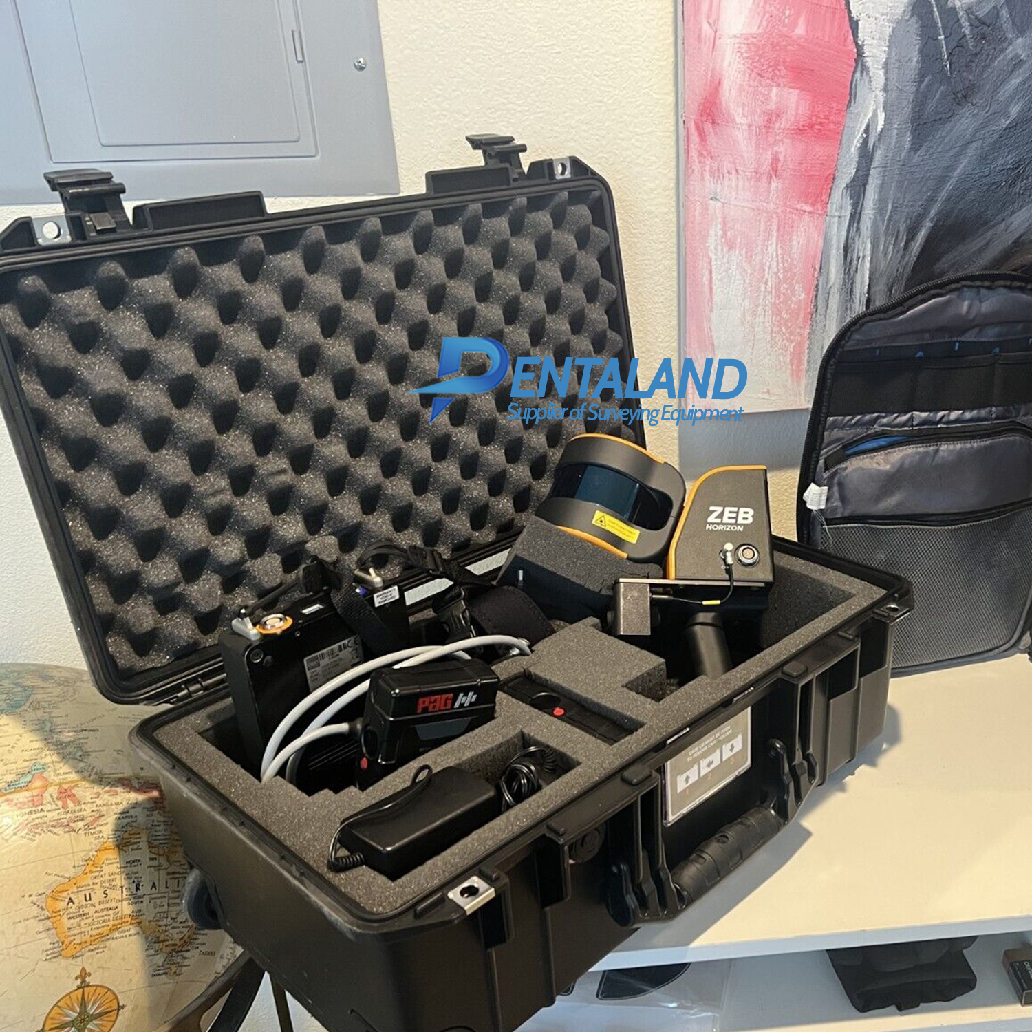
The GeoSLAM ZEB Horizon 3D mobile mapping Scanner, Designed for mapping large-scale indoor, outdoor, and complex environments quickly and accurately.
Product Includes:
ZEB Horizon Scanner ZEB Horizon data logger with shoulder strap
(incl. 14.8V battery) x2
14.8V Battery Charger
ZEB Horizon main cable (1.5m length)
USB memory stick
GeoSLAM Connect software
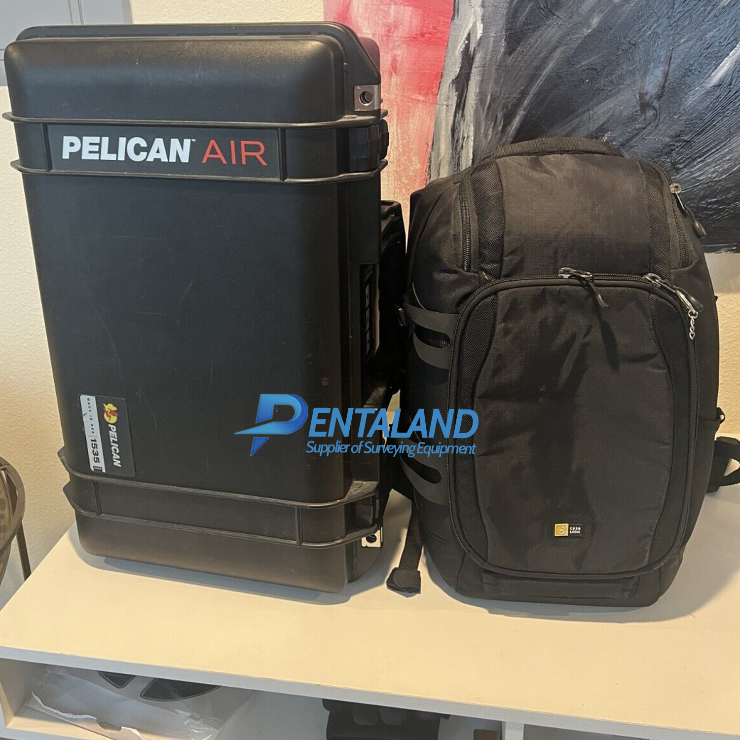
Custom Pelican 1535 hard case
Custom Case Logic softshell backpack
12-month hardware warranty
The brand new new GeoSLAM ZEB Horizon RT also available for sale at our shop
Features:
Lightweight and compact: The Horizon scanner is a compact and lightweight device, making it easy to transport and handle during scanning tasks.
SLAM technology: It utilizes Simultaneous Localization and Mapping (SLAM) technology, which allows it to create 3D maps of environments in real-time while simultaneously determining the device's position within the mapped space.
Range and accuracy: The Horizon scanner offers a range of up to 100 meters with an accuracy of +/- 3 centimeters, making it suitable for capturing detailed data in various environments.
Speed: The Horizon can collect up to 300,000 points per second, enabling rapid data collection and reducing the time spent on site.
Flexibility: The device can be used in various configurations, such as handheld, mounted on a backpack, or attached to a vehicle or drone. This flexibility allows it to be used in a wide range of applications, including architecture, engineering, construction, mining, forestry, and more.
User-friendly Software: GeoSLAM's accompanying software, the GeoSLAM Connect, is designed to process, visualize, and analyze the collected data efficiently. This software allows users to generate 3D point clouds, 2D floor plans, and other deliverables from the scanned data. Process a point cloud quickly using the intelligent point cloud processing platform GeoSLAM Connect. GeoSLAM data is compatible with software that works for you with universal file formats (LAZ/LAS/PLY/TXT/e57).
Technical Specification:
Range: 100m
Protection Class: IP54
Scanner Weight: 1.3kg
Points per Second: 300,000
Relative Accuracy: 1 - 3cm
Raw Data File Size: 100-200MB a minute
Processing: Post Processing
Battery Life (scanner): 3.5hrs
Pentaland Surveying specialized in sale and service of surveying instrument and measuring equipment such as Total stations, GPS/ GNSS RTK system, 3D Laser Scanner, Laser Tracker, Ground Penetrating Radar, and Accessories.
UBI Road 3 Block 3038 A, #02-91
pentalandsurveying@gmail.com
+6505557013
© 2014 - 2024 Pentaland | All Rights Reserved