

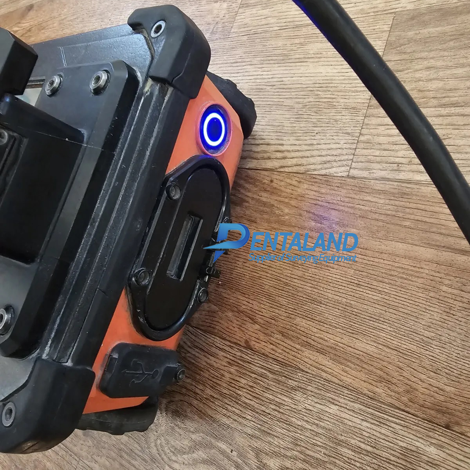

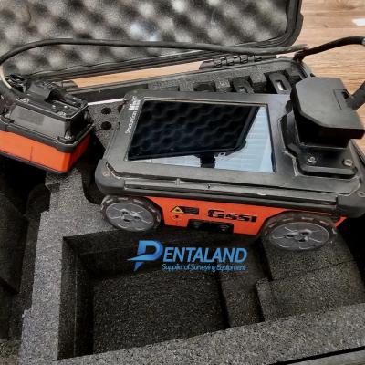

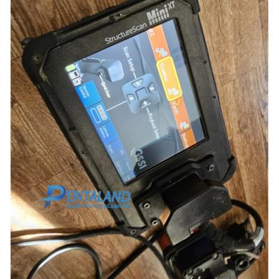
Used GSSI StructureScan MINI XT GPR
$6,600
Related Products
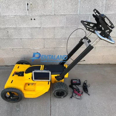
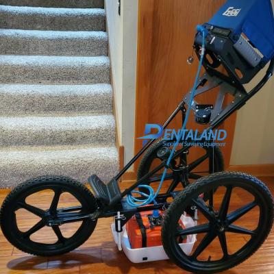
Used GSSI StructureScan MINI XT GPR for sale, bundle with PalmXT antenna, RADAN 7 software. Still like new, fully inspected, serviced and calibrated by GSSI authorized, everything is in excellent perfect condition.
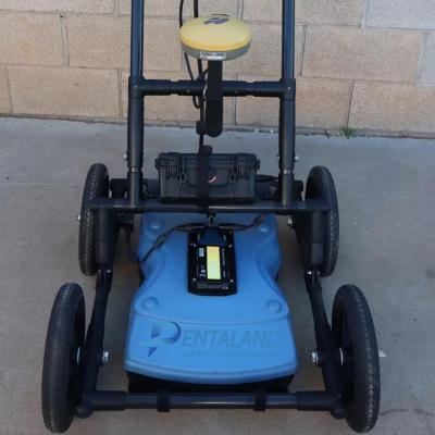
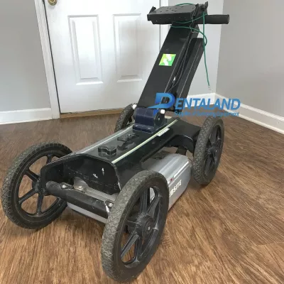
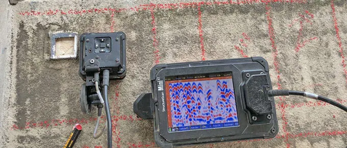
The Mini XT is ideal for concrete inspection and evaluation. Easily and accurately locate the position and depth of metallic and non-metallic objects in concrete structures, including rebar, conduit, post-tension cables, pan decking, voids and service utilities.
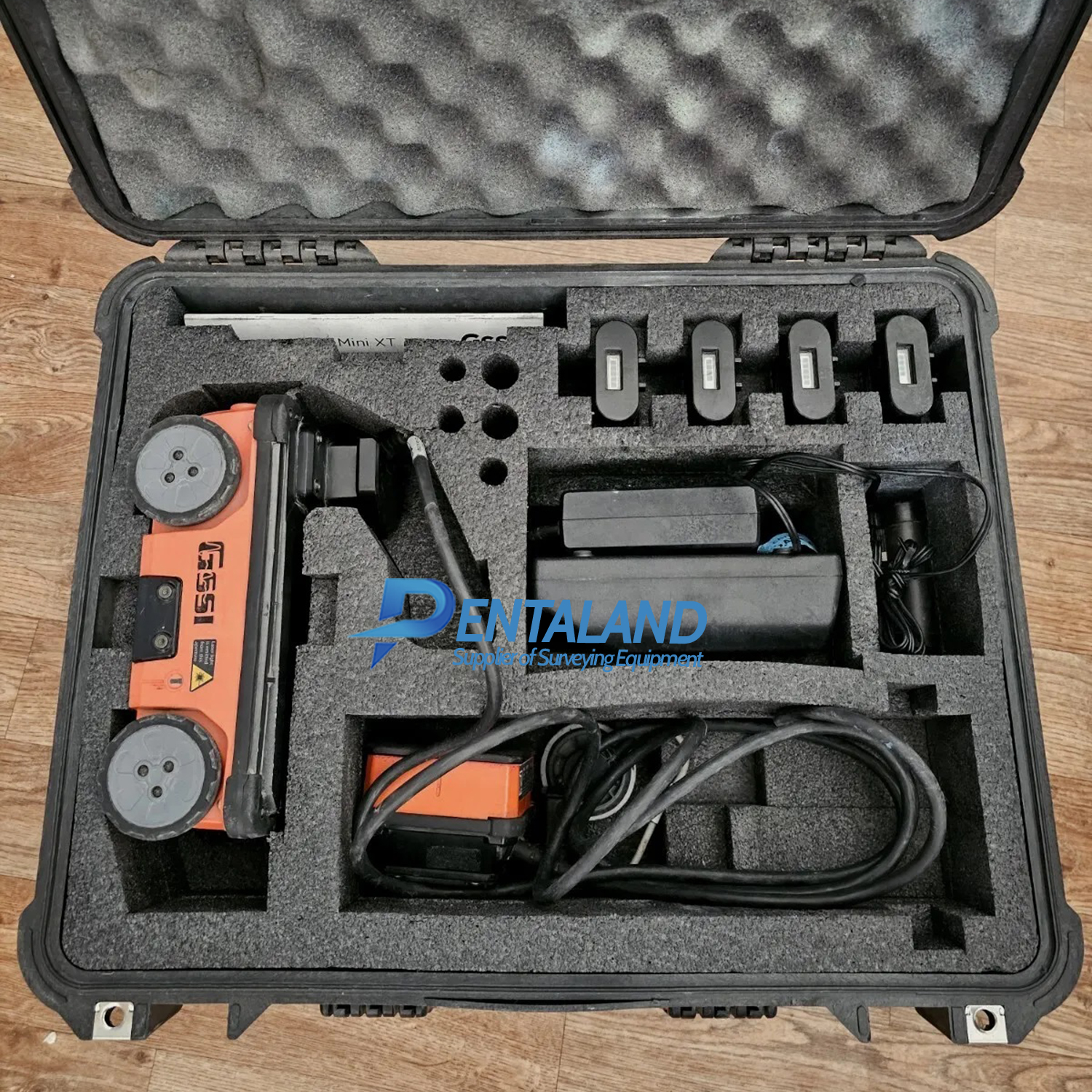
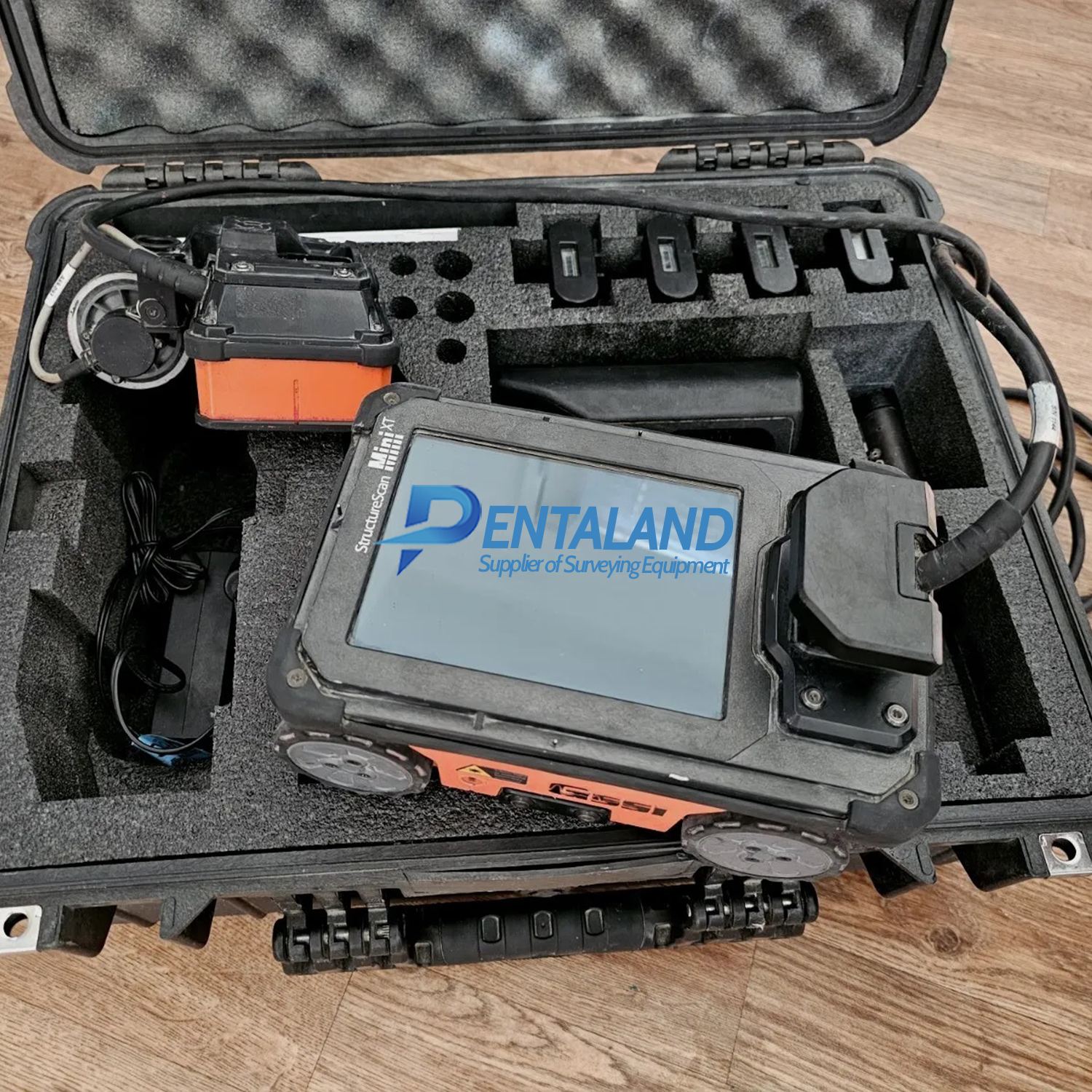
Includes:
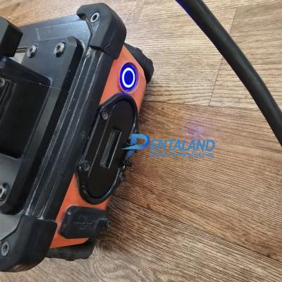
- GSSI StructureScan MINI XT All-in-one Control Unit, 2700 MHz antenna and survey wheel combo
- Palm XT
- 4x Lithium-ion battery, Dual bay battery charger
- Pelican case
- Quick Start Guide
- Sample 3D data collection grid pack
- RADAN 7 software License
Typically used to:
- Find rebar, post tension, conduits, and non-metallic objects
- Measure slab thickness and void location
- Concrete scanning and imaging
- Condition assessment
- Structure inspection
| Display | 6.5” Touchscreen LED |
| Environmental Rating | IP65 |
| Display Modes | Linescan, Focus and 3D |
| Available Ports | USB |
| Languages | English, French, Japanese and Chinese |
| Operating Temperature | -4°F to 104°F (-20°C to 40°C) |
GSSI StructureScan MINI XT brochure
The StructureScan™ Mini XT is the tool built to handle all your job site and survey needs. This rugged system is designed with an integrated display for single operator data collection and interpretation. Reduce safety risks, financial exposure, costly delays and provide the full-range of services to your customers by adding this concrete scanner to your toolbox.
The Professional Scanner's Choice
The StructureScan Mini XT is the right tool to conquer all your job site needs.
High Frequency, High Resolution Concrete Antenna: The StructureScan Mini XT employs a 2.7 GHz antenna that provides excellent near surface resolution while also maintaining the ability to resolve deeper targets.

Enhanced Target Visualization: The StructureScan Mini XT provides multiple modes for data collection and interpretation:
Scan EZ: With the press of just one button, this mode provides the ideal amount of information with 2D data views for efficient mark-and-go surveys
Scan Max: Focus mode is designed to simplify the data to better highlight embedments, locate voids and see closely spaced targets
Scan 3D: 3D visualization is often used in complicated structural scenarios where the survey area may contain multiple levels of targets. This mode helps the user visualize congested areas and non-linear targets
Increase Job Site Efficiency with Mini XT Kit: Today’s professional scanners need a variety of tools to conquer all job site obstacles. For large survey areas the extension pole allows for better ergonomics and ease of use. Using the Mini XT harness and Palm XT antenna together allows the user to collect data with one-hand operation ensuring you maintain 3 points of contact to comply with OSHA regulations. 
Pentaland
Pentaland Surveying specialized in sale and service of surveying instrument and measuring equipment with more than 15 year experience. We supply a wide range of latest instruments, accessories and consumables for measuring, surveying applications and construction such as 3D Laser Scanner, Digital Templating System, GPS GNSS Systems, Ground Penetrating Radar, Laser Tracker, Phased Array Flaw Detector, Pre-Owned 3D Scanners, Robotic Total Stations, Thermal Imaging Camera, XRF Analyzers.
Categories
Manufacturer
© 2014 - 2026 Pentaland | All Rights Reserved
